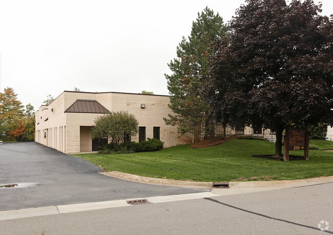
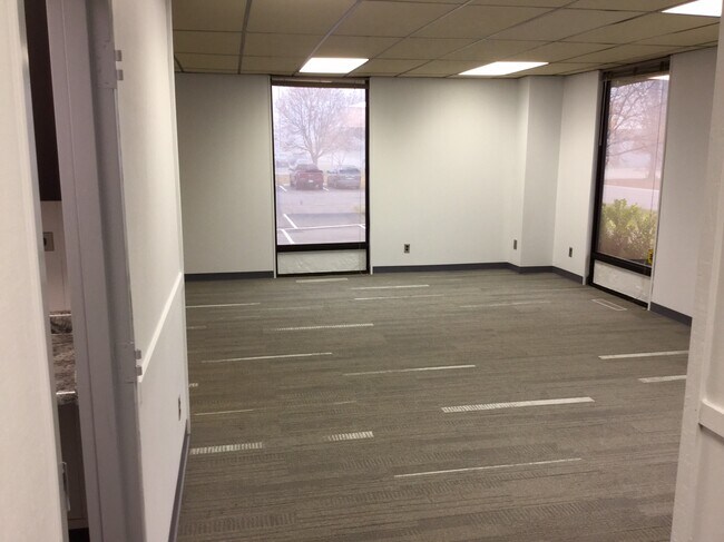
Property Record
29261 Wall St, Wixom, MI 48393

NEARBY LISTINGS FOR SALE OR LEASE
Property Detail
29261 Wall St
Detroit-Warren-Dearborn, MI
Wixom Industrial Park
22-08-126-010
T1N, R8E, SEC 8 WIXOM INDUSTRIAL PARK N 205.50 FT OF LOT 7
Manufacturinglight
Oakland
X
Michigan
26125C0469F
7
2024
1.31 AC
2025
Central I-96 Corridor
133102
Detroit
16,210 SF
DEMOGRAPHICS near 29261 Wall St
1 Mile
3 Mile
5 Mile
2024 Total Population
173
39,787
111,375
2029 Population
160
39,079
110,302
Pop Growth 2024-2029
(7.51%)
(1.78%)
(0.96%)
Average Age
35
38
41
2024 Total Households
115
17,126
45,860
HH Growth 2024-2029
(6.96%)
(2.24%)
(1.14%)
Median Household Inc
$41,818
$84,006
$94,144
Avg Household Size
1.50
2.30
2.40
2024 Avg HH Vehicles
1.00
2.00
2.00
Median Home Value
$74,999
$380,052
$360,033
Median Year Built
1981
1992
1992
Nearby Places
Map Layers
Map Styles
 Street
 Aerial
- Restaurants
- Banks
- Shops
- Fitness
- Groceries
PUBLIC TRANSPORTATION
AIRPORT
Detroit Metro Wayne County
DRIVE
WALK
Distance
Detroit Metro Wayne County
42 min
32.3 mi
Windsor International
DRIVE
WALK
Distance
Windsor International
65 min
41.7 mi
Bishop International
DRIVE
WALK
Distance
Bishop International
61 min
45.9 mi
SALE & LEASE HISTORY
LISTING DATE
SALE/LEASE

Sep 25, 2016
For Lease
Jan 24, 2020
For Lease
Nearby Properties
Address
Land Use
TOTAL SIZE
Lot Size
Zoning
Address
Land Use
TOTAL SIZE
Lot Size
Zoning
873,288 SF
Address
Land Use
TOTAL SIZE
Lot Size
Zoning
741,000 SF
Address
Land Use
TOTAL SIZE
Lot Size
Zoning
72.63 AC
RM-1
Address
Land Use
TOTAL SIZE
Lot Size
Zoning
86.19 AC
RC2
Address
Land Use
TOTAL SIZE
Lot Size
Zoning
563,160 SF
47.06 AC
Address
Land Use
TOTAL SIZE
Lot Size
Zoning
152,130 SF
64.46 AC
R-C
Address
Land Use
TOTAL SIZE
Lot Size
Zoning
12,872 SF
43.06 AC
RM-1
Address
Land Use
TOTAL SIZE
Lot Size
Zoning
20.71 AC
OSC
Address
Land Use
TOTAL SIZE
Lot Size
Zoning
59.71 AC
RM-1
Address
Land Use
TOTAL SIZE
Lot Size
Zoning
306,280 SF
Address
Land Use
TOTAL SIZE
Lot Size
Zoning
144.50 AC
OSC
Address
Land Use
TOTAL SIZE
Lot Size
Zoning
63.31 AC
OST-EXO
Address
Land Use
TOTAL SIZE
Lot Size
Zoning
184,225 SF
13.84 AC
OSC
Address
Land Use
TOTAL SIZE
Lot Size
Zoning
38.85 AC
RC2
Address
Land Use
TOTAL SIZE
Lot Size
Zoning
256,880 SF
Address
Land Use
TOTAL SIZE
Lot Size
Zoning
63,152 SF
14 AC
R-C
Address
Land Use
TOTAL SIZE
Lot Size
Zoning
OST-EXO
Address
Land Use
TOTAL SIZE
Lot Size
Zoning
Address
Land Use
TOTAL SIZE
Lot Size
Zoning
140,366 SF
30.67 AC
II
Address
Land Use
TOTAL SIZE
Lot Size
Zoning
132,288 SF
Address
Land Use
TOTAL SIZE
Lot Size
Zoning
234,245 SF
20.12 AC
R-C
Address
Land Use
TOTAL SIZE
Lot Size
Zoning
126,720 SF
8.31 AC
Address
Land Use
TOTAL SIZE
Lot Size
Zoning
172,700 SF
Address
Land Use
TOTAL SIZE
Lot Size
Zoning
7,471 SF
114.63 AC
MM
Address
Land Use
TOTAL SIZE
Lot Size
Zoning
25.58 AC
RC1
Address
Land Use
TOTAL SIZE
Lot Size
Zoning
243,502 SF
Address
Land Use
TOTAL SIZE
Lot Size
Zoning
279,807 SF
31.24 AC
II
Address
Land Use
TOTAL SIZE
Lot Size
Zoning
200,926 SF
30.87 AC
M1
Address
Land Use
TOTAL SIZE
Lot Size
Zoning
366,970 SF
42.33 AC
I-2
Address
Land Use
TOTAL SIZE
Lot Size
Zoning
26.54 AC
RM-1
The World's #1 Commercial Real Estate Marketplace
Connect with us
© 2025 CoStar Group
The information above has been obtained from sources believed reliable. While we do not doubt its accuracy we have not verified it and make no guarantee, warranty or representation about it. It is your responsibility to independently confirm its accuracy and completeness. Any projections, opinions, assumptions, or estimates used are for example only and do not represent the current or future performance of the property. The value of this transaction to you depends on tax and other factors which should be evaluated by your tax, financial, and legal advisors. You and your advisors should conduct a careful, independent investigation of the property to determine to your satisfaction the suitability of the property for your needs.